info@charlottesvillebicycleclub.org
Gracious Gracious
  • Home
  • New Membership
  • Club Information
    • About Us
    • Contact Us
    • New Rider Information
    • Bicycling Safety
    • Governance
      • Board of Directors
      • Terms Of Use And Privacy
      • LAB Insurance Brochure
      • Articles of Incorporation
      • CBC Bylaws
      • Discussion Forum Agreement
    • Other Cycling Groups
  • Rides and Routes
    • General Route Info
    • CBC Ride Classifications
    • Route Library
      • Paved Routes
      • Spring Hill Routes (Paved)
      • Gravel Routes
    • Cycling on the Blue Ridge
    • Major Climbs
    • Other Cycling Events In Virginia
    • Virtual Rides
  • Ride Calendar
  • Members
    • Club Photos
    • Ride With GPS Club Account
    • Membership Directory
    • Account Settings
    • Membership Renewal
    • Emergency Contact Information
    • Login/Logout
  • Posts
  • Login

Charlottesville Bicycle Club

  1. Home
  2. Charlottesville Bicycle Club

Eheart – Somerset

Short Route GPS
Short Route Map & Cue Sheet
Long Route GPS
Long Route Map & Cue Sheet

Distance: 22 / 31 miles
Climbing: 60 / 65 feet per mile

Description: This route heads south into Albemarle County and then takes you north and east through western Orange County.  It is a variation of the Barboursville – Somerset ride from Spring Hill.

Stores: None

Alerts:  Use caution on US 33 when exiting from and returning to the parking lot, and when crossing US 33 in Eheart.
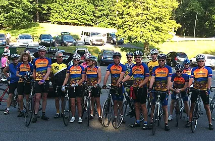
CBC Riders

Starting Point:

   Barboursville Firehouse
   5251 Spotswood Trail (US 33)
   Barboursville, VA 22923
   GPS: 38.175319, -78.285215

NOTE:  The left-hand section of the parking lot as you face the front of the building, marked by yellow parking stripes, is reserved for firemen. Please use the right-hand side, furthest from the entrance to the lot.

Copyright | Charlottesville Bicycle Club,  2021-23 | A 501(c)7 Organization
  • Terms Of Use And Privacy
  • Contact Us