info@charlottesvillebicycleclub.org
Gracious Gracious
  • Home
  • New Membership
  • Club Information
    • About Us
    • Contact Us
    • New Rider Information
    • Bicycling Safety
    • Governance
      • Board of Directors
      • Terms Of Use And Privacy
      • LAB Insurance Brochure
      • Articles of Incorporation
      • CBC Bylaws
      • Discussion Forum Agreement
    • Other Cycling Groups
  • Rides and Routes
    • General Route Info
    • CBC Ride Classifications
    • Route Library
      • Paved Routes
      • Spring Hill Routes (Paved)
      • Gravel Routes
    • Cycling on the Blue Ridge
    • Major Climbs
    • Other Cycling Events In Virginia
    • Virtual Rides
  • Ride Calendar
  • Members
    • Club Photos
    • Ride With GPS Club Account
    • Membership Directory
    • Account Settings
    • Membership Renewal
    • Emergency Contact Information
    • Login/Logout
  • Posts
  • Login

Charlottesville Bicycle Club

  1. Home
  2. Charlottesville Bicycle Club

MadPeper

Short Route GPS
Short Route Map & Cue Sheet
Long Route GPS
Long Route Map & Cue Sheet

Distance: 42 / 52 miles
Climbing: 60 / 55 feet per mile

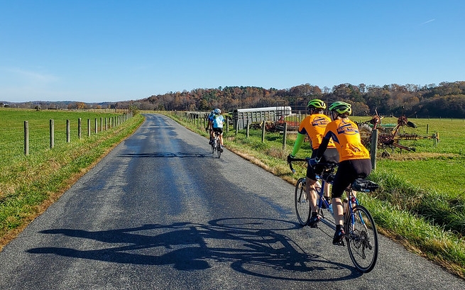
​Description: One of the great favorites in the region, this ride covers northern Madison County and extends into Culpeper County. There are exceptional views of the rolling countryside and the mountains; a three-quarter mile steep climb at mile 13 and the descent into Etlan present views of Old Rag Mountain from several angles.

As an optional out-and-back, turn left at Etlan Rd. (mile 13.0) and head up a beautiful, shady valley for 4.5 miles to where the state road ends at the entrance to the Shenandoah National Park (the last 0.8 miles is quite steep). Return and continue with the regular route.

Stores: Mile 17 (Etlan)

Alerts: None.

Starting Point:

   Madison Social Services
   101 South Main Street
   Madison, VA 22727
   GPS: 38.379467, -78.257916

Copyright | Charlottesville Bicycle Club,  2021-23 | A 501(c)7 Organization
  • Terms Of Use And Privacy
  • Contact Us