info@charlottesvillebicycleclub.org
Gracious Gracious
  • Home
  • New Membership
  • Club Information
    • About Us
    • Contact Us
    • New Rider Information
    • Bicycling Safety
    • Governance
      • Board of Directors
      • Terms Of Use And Privacy
      • LAB Insurance Brochure
      • Articles of Incorporation
      • CBC Bylaws
      • Discussion Forum Agreement
    • Other Cycling Groups
  • Rides and Routes
    • General Route Info
    • CBC Ride Classifications
    • Route Library
      • Paved Routes
      • Spring Hill Routes (Paved)
      • Gravel Routes
    • Cycling on the Blue Ridge
    • Major Climbs
    • Other Cycling Events In Virginia
    • Virtual Rides
  • Ride Calendar
  • Members
    • Club Photos
    • Ride With GPS Club Account
    • Membership Directory
    • Account Settings
    • Membership Renewal
    • Emergency Contact Information
    • Login/Logout
  • Posts
  • Login

Charlottesville Bicycle Club

  1. Home
  2. Charlottesville Bicycle Club

Swift Run Gap – Skyland

GPS
Map & Cue Sheet

Distance:  48 miles
Climbing:  100 feet per mile

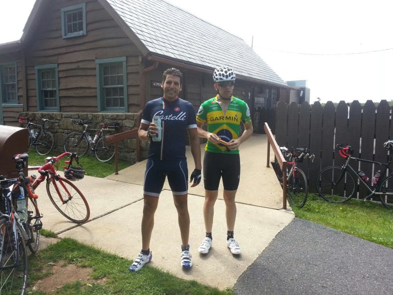
Description:  A truly extraordinary ride, this route climbs through the Shenandoah National Park on the Skyline Drive from the Swift Run Gap entrance for 24 miles before turning around at the Skyland Wayside and heading back. Skyland is the highest point on the Skyline Drive; you are guaranteed to get your fill of scenic mountaintop overlooks. Don’t miss it.

Stores:  Mile 24 (Skyland Wayside)

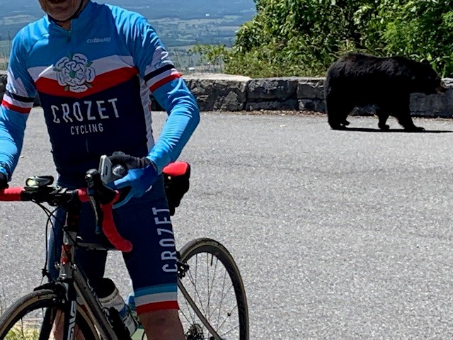
There's Always Something To See On Skyline Drive

Starting Point:

   Swift Run Gap Entrance Station
   US 33 & Skyline Drive
   Elkton, VA 22827
   GPS: 38.358559, -78.546956

NOTE:   A fee is required at the entrance to the national park unless you already have a pass. Most passes can be used for up to four riders.

Copyright | Charlottesville Bicycle Club,  2021-23 | A 501(c)7 Organization
  • Terms Of Use And Privacy
  • Contact Us