info@charlottesvillebicycleclub.org
Gracious Gracious
  • Home
  • New Membership
  • Club Information
    • About Us
    • Contact Us
    • New Rider Information
    • Bicycling Safety
    • Governance
      • Board of Directors
      • Terms Of Use And Privacy
      • LAB Insurance Brochure
      • Articles of Incorporation
      • CBC Bylaws
      • Discussion Forum Agreement
    • Other Cycling Groups
  • Rides and Routes
    • General Route Info
    • CBC Ride Classifications
    • Route Library
      • Paved Routes
      • Spring Hill Routes (Paved)
      • Gravel Routes
    • Cycling on the Blue Ridge
    • Major Climbs
    • Other Cycling Events In Virginia
    • Virtual Rides
  • Ride Calendar
  • Members
    • Club Photos
    • Ride With GPS Club Account
    • Membership Directory
    • Account Settings
    • Membership Renewal
    • Emergency Contact Information
    • Login/Logout
  • Posts
  • Login

Charlottesville Bicycle Club

  1. Home
  2. Charlottesville Bicycle Club

White Hall – Stanardsville

GPS
Map & Cue Sheet

Distance: 47 miles
Climbing: 75 feet per mile

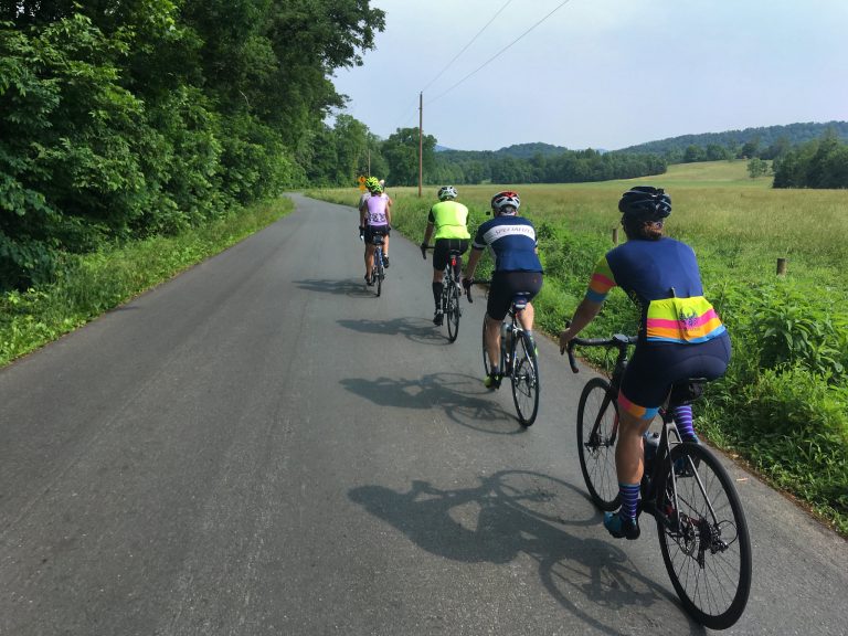
​Description: This scenic route begins in Albemarle County and takes you onto some favorite roads in Greene County.  It is a longer version of other White Hall routes, with a nice descent back into White Hall.

Stores: Mile 30 (Dyke)

Alerts:  None

Starting Point:

   White Hall Community Building
   2904 Browns Gap Turnpike
   Crozet, VA 22932
   GPS: 38.118063, -78.661758

Copyright | Charlottesville Bicycle Club,  2021-23 | A 501(c)7 Organization
  • Terms Of Use And Privacy
  • Contact Us